Live Earth Imaging About
Live Earth Mission
Live Earth Imaging was created to make intelligence from satellite imagery more accurate and accessible to people working on the front lines of natural disasters, humanitarian missions, international conflicts and economic development.
Company Background
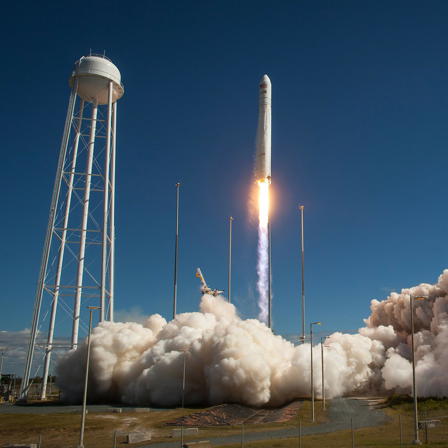
Founded in 2015, Live Earth Imaging is built around a disruptive optical sensor technology which will vastly expand the capabilities and usage of geostationary remote sensing systems. For the past two decades, satellite imagery has come to play an invaluable role guiding business decisions, civil government services, military operations, disaster relief efforts, and environmental preservation. By offering instant access to live, continuous, high-resolution and true-color imagery of events on the ground, in the air, or in the atmosphere, Live Earth was created to greatly expand humankind’s access to information about the world.
Frank Williams, Founder
Live Earth Founder and Principal, Franklin Williams has over 40 years of experience in all phases of aerospace development and management. From system conception through funding, design and implementation Mr. Williams has guided systems that perform well beyond their initial design goals.
Mr. Williams has spent the past 12 years as a Senior Staff Engineer at L3 Communications. He served four years as Vice President of Engineering at AstroVision International Inc.; seven years as Vice President of Engineering at IOSTAR Corporation and Space Tug Corporation; as well as nine years as Vice President of Engineering at INTRASPACE Corporation. Prior to that, Mr. Williams spent four years at Rockwell International working on ICBM systems.
He received his Bachelor’s in Mathematics from the University of Alaska and his Masters in Physics from the University of Utah after spending six years active duty working on remote sensing technologies for the U.S. Air Force.